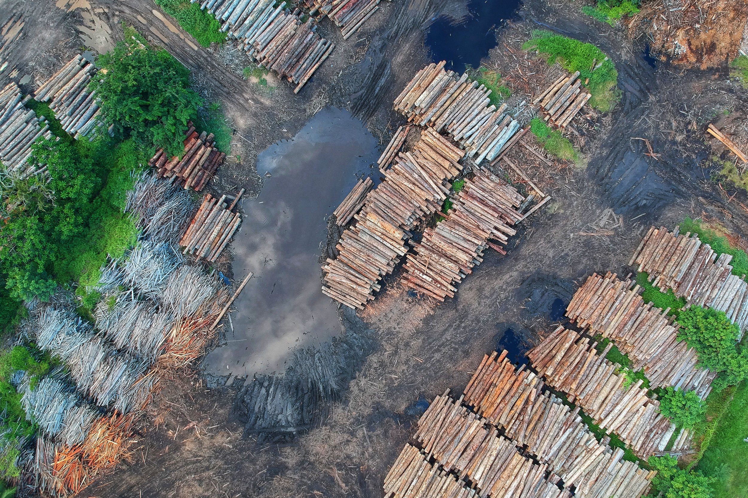

Volumetric Analysis
With high resolution digital surface models, digital elevation models, LiDAR sensors, and photogrammetry professionals, understanding how much, or how many, has never been easier. Our teams routinely manage the entire project pipeline, from data capture to product delivery but we are also happy to support other teams by providing flight services or data processing and analytics.
Contact us today to start measuring or for more info.

