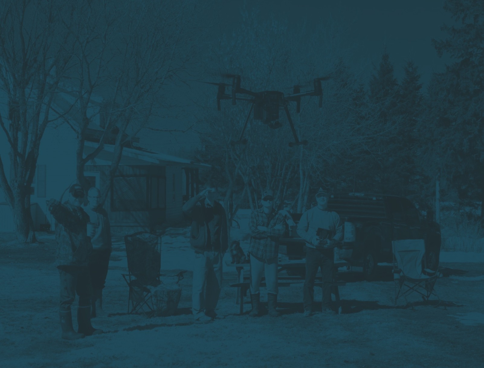

We are the technological bridge between field teams and operations.
Deploy highly trained teams to collect your critical data.
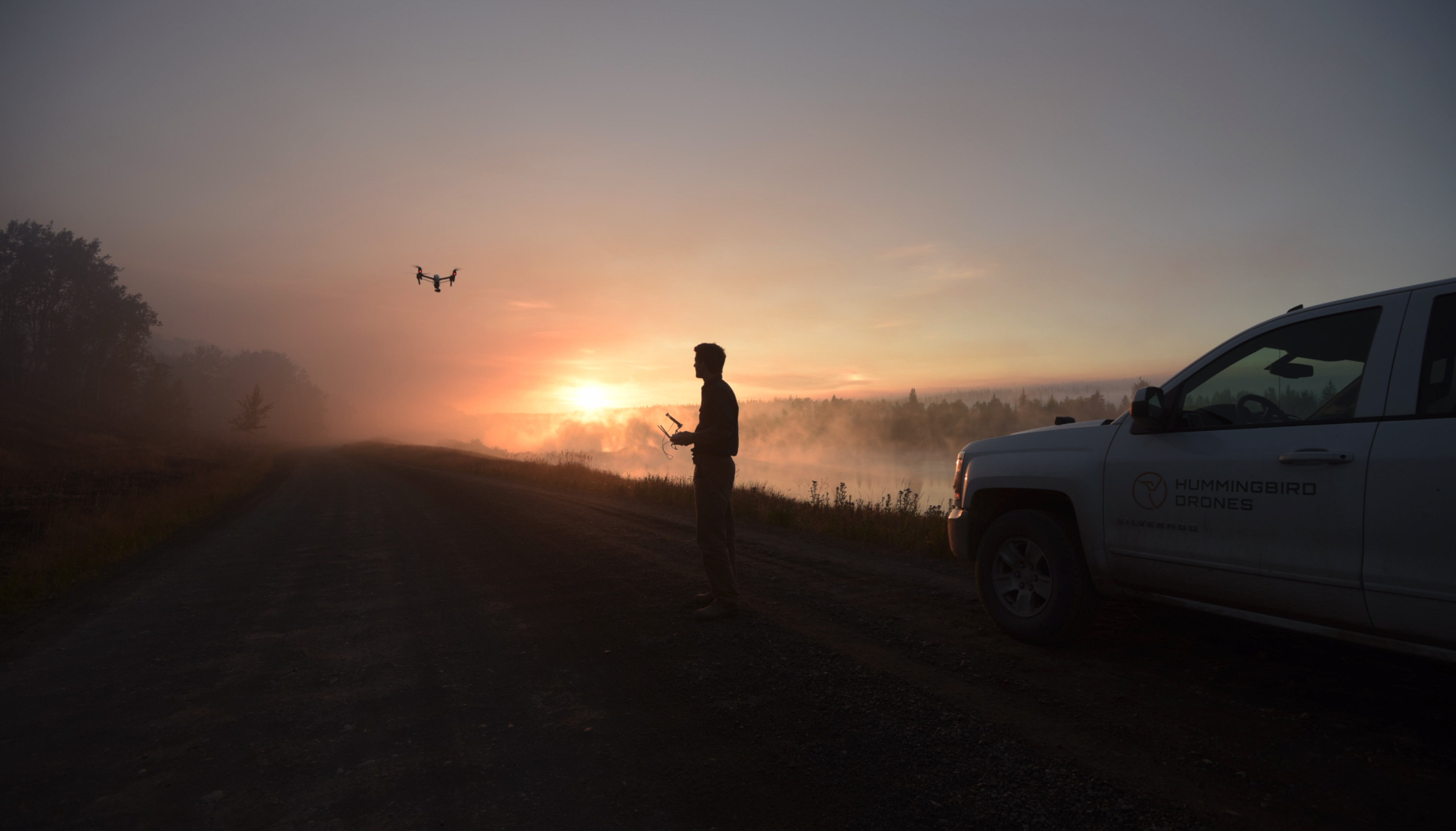
Over a decade of experience you can count on.
_01
About Us
Our team of seasoned professionals combines industry expertise with advanced technology to deliver precision aerial services. We are consistently pushing the boundaries of what's possible with remotely piloted aircraft systems to meet the needs of our clients.

Aerial Ignition
Low cost ignitions, for faster and safer fire management.
Dropping ignition spheres from a drone has many advantages over traditional ignition methods. Precision burn lines can be automated, and individual piles can be targeted, with the drone pausing, dispensing spheres on target, and adjusting course. Prescribed burns, back burns, and waste pile ignition can be executed precisely and at a relatively low cost.
LiDAR
Capture, process, and deliver quality data in as little time as possible.
Our data management pipeline and workflow is designed to capture, process and deliver quality data in as short a time as possible. Our team asks the right questions before your project starts to make sure that data collection, processing, and delivery are seamless.

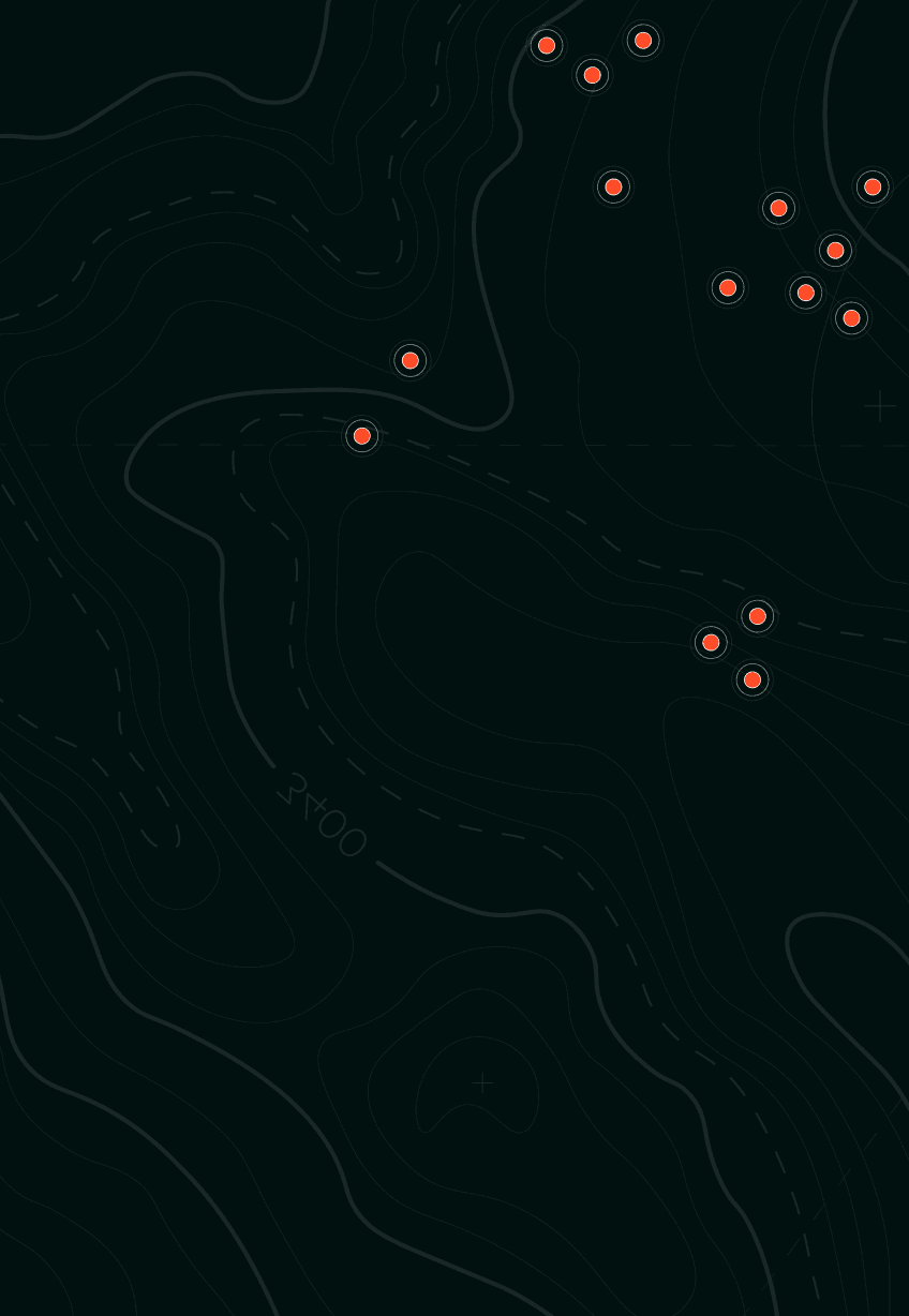
Hotspot Detection
Fly over wildfires, finding millions of hotspots over thousands of fires.
Start actioning wildfires 24 hours a day and extend wildfire suppression efforts by gathering critical information about the fire’s location, size, and intensity. Our Teams can deploy in less than 60 minutes, are trained Type 2 firefighter standard, and are trusted by organizations across Canada.

Surveying
3D modeling and precision geospatial products.
Precision point-cloud accuracy and digital 3D terrain models bring our work to life. Supporting teams building bridges and roads to volumetric assessment of aggregate piles, our team of analysts are always ready for the next challenge and the next flight. Delivering for some of Canada’s largest engineering and surveying firms, you can be confident in your results.
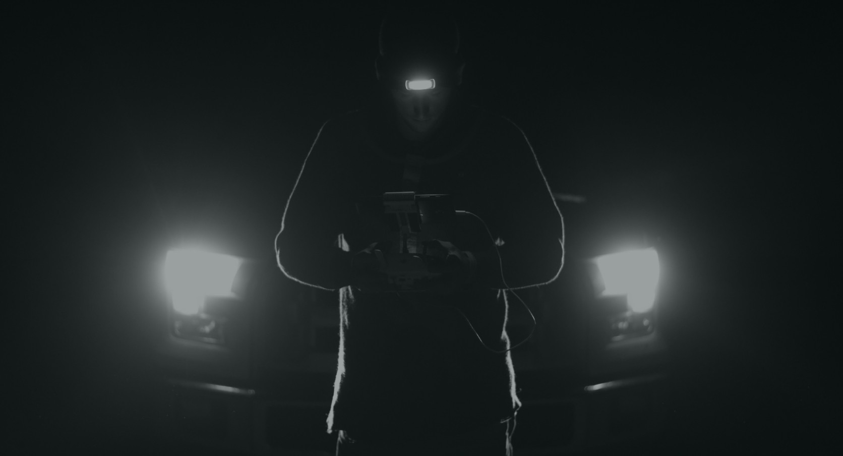
Search
& Rescue
Day or night, our crews are available at a moment's notice.
Our mission is to increase access to search and rescue qualified drone pilots and equipment across Canada. We’ve assisted search and rescue teams on a diverse array of missions and successfully located multiple subjects. So whether you are looking to build drone capacity within your search team, or to hire out - our crews and drones are available at a moment's notice.
Disaster Response
Get eyes over issues as soon as possible.
One thing that all disasters have in common is a lack of information to responders. Our rapidly deployed teams get real time, critical information to Public Safety and Emergency Responders so you can understand the scope and severity of an incident.